
Learning more about Australia's remote Northwest reefs with Indigenous rangers
Share this:


Offshore Northwest reefs Rankin Bank and Glomar Shoal are remote and little known, but Australian Institute of Marine Science (AIMS) researchers are using technology and people power to help us understand them better.
The two reefs, situated around 125km from Dampier on the Pilbara coast, support diverse reef ecosystems at a range of depths (between 20-120m deep) as well as commercially valuable fish and marine wildlife. Coral reef communities have been observed at the northeastern edge of Glomar Shoal.
AIMS scientists have been visiting to survey these reefs since 2013 and recently returned in October 2025 and April 2026 on research vessel Solander to collect more data on the health of key habitats and fish communities.
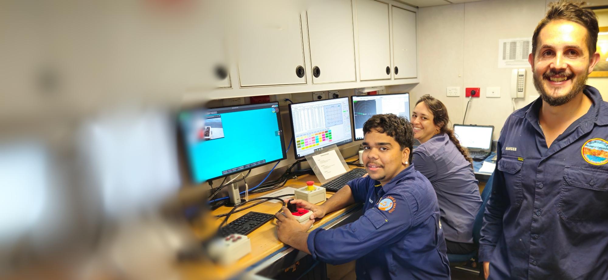
On the latest trip, scientists were joined by two Indigenous Rangers from the Murujuga Aboriginal Corporation – Richard Variakojis and Riley Sebastian – who completed the trip equipped with new learnings about monitoring in remote marine environments.
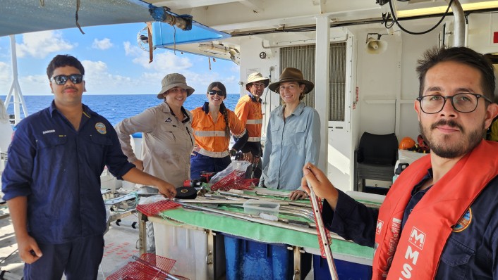
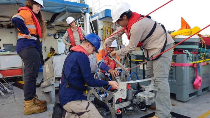
“Our main duties and activities during the steam out to Glomar and Rankin were to learn how to set up all the BRUVS (baited remote underwater video systems) and the towvid (towed video system) and then go about preparing them. Once we arrived at our destination, we then deployed them and brought them back in,” explained Mr Variakojis.
“We manoeuvred the towvids over the seafloor using a joystick, which was a bit like playing a video game. Some of the topographies in these places were quite pronounced – there were some steep inclines and declines. Glomar had a decent amount of swell while we were there which made manoeuvring the towvid tricky. We also looked at some of the images they gathered.”
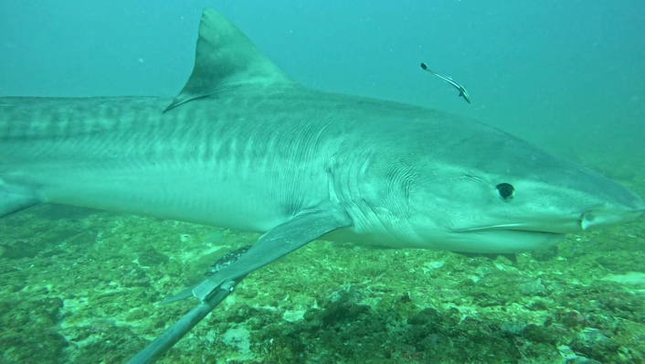
The two rangers were impressed by the diversity of marine wildlife they saw at the locations, which included several species of sea snake, tiger sharks, hammerheads, dolphins, a range of large fish and diverse sponges and corals in the deeper areas.
Mr Sebastian said he wanted to build on his experiences from the trip a little closer to home.
“The trip gave me the opportunity to build skills in preparing, deploying and interpreting data from BRUVS, which I am hoping to take back to the marine rangers so we can use this method to survey around the islands of the Dampier Archipelago,” he said.
“I am sure the elders and our mob would love to see the fish communities we have up there using this method.”
The rangers and scientists observed damage at both offshore reefs thought to be due to Cyclone Narelle, which passed directly over both reefs in March. They also recorded the aftermath of coral bleaching at Glomar caused by the marine heatwave of 2025. Data from these observations are currently being analysed.
AIMS project lead Mat Wyatt said scientists are using the agency’s digital machine learning platform BenthoBox to drive the efficient analysis of data gathered on these field trips.
“We want to compare the data on wildlife and habitats we’ve recently gathered with the results from our field surveys between 2013-18,” said Mr Wyatt. “This will help scientists, industry and decision-makers understand how the ecosystems are responding to local and global pressures like fishing and climate change.”
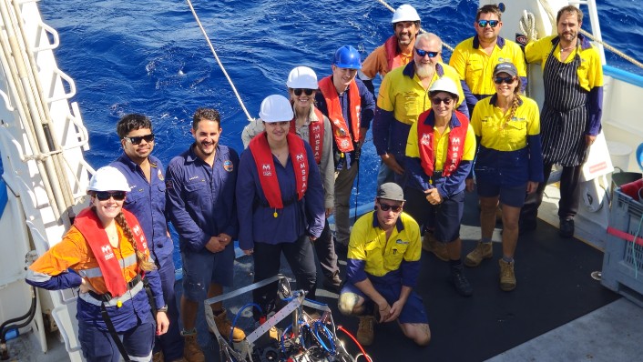
Both Mr Variakojis and Mr Sebastian said they hoped the systems would get a chance to recover from the recent disturbances.
“It was interesting to hear directly from the scientists of the changes they had seen in areas since they visited last year,” said Mr Sebastian.
“Hopefully there will be some time to recover from these events, and this will bring benefits to the fish and other marine wildlife at Rankin and Glomar.”
The project to study Glomar Shoal and Rankin Bank is funded by Woodside on behalf of the North West Shelf Joint Venture, and AIMS.
Share this


