Digital Skin to cover Great Barrier Reef
Share this:
The Great Barrier Reef will soon be the most monitored reef in the world with the application of a "digital skin" of sensors that will make possible the finest resolution picture ever of the region's dynamic systems.
The Minister for Innovation, Industry, Science and Research, Senator Kim Carr, will today (Friday 9 May 2008) announce the Great Barrier Reef Ocean Observing System (GBROOS), a regional ocean observation network covering the eastern Coral Sea and the Great Barrier Reef and incorporating the world's first large scale reef-based Internet Protocol (IP) network.
In this project, AIMS is harnessing its leading capabilities in data management, as well as its extensive national and international collaborations, to move Australian reef science to a new level.
GBROOS is a multidisciplinary infrastructure project costing about $16 million. It is led by AIMS on behalf of a consortium of agencies including AIMS, James Cook University (JCU), Great Barrier Reef Island Research Stations, University of Melbourne and CSIRO. The Great Barrier Reef marine tourism industry is participating in GBROOS by including ship board sensors on some of their vessels.
The project is jointly funded by the Federal and Queensland governments and is part of the Integrated Marine Observing System (IMOS), a national collaborative program managed by the University of Tasmania to observe the oceans around Australia. IMOS is an initiative of the Australian Government being conducted as part of the National Collaborative Research Infrastructure Strategy (NCRIS).
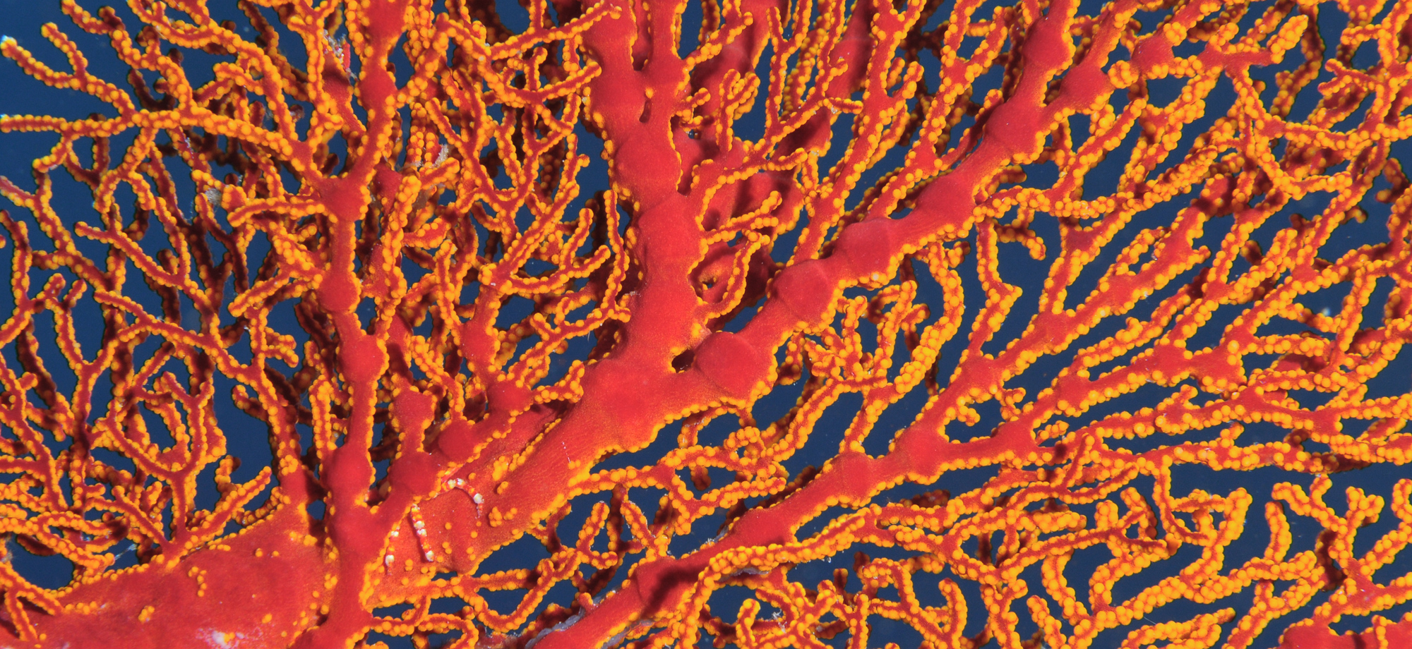
Like the methods used to assess the performance of elite athletes or racehorses by applying a network of monitors to skin, this system will cover the GBR in a variety of sensors to pick up real-time information on how the reef is travelling.
This is especially crucial as the GBR faces its biggest threat, global climate change. Being able to see changes on the reef, both subtle and dramatic, in real time will allow researchers and environmental managers to ensure that they are doing everything possible to preserve this environmentally and economically important asset.
"We know that any environmental change is complex and we need long term, multi-scale, high resolution datasets to best interpret what is going on with this ecosystem and to forecast what is likely to happen," AIMS CEO Dr Ian Poiner said.
"GBROOS is a co-ordinated set of observing systems that together will provide real-time measurements of the GBR system at a range of scales for the first time ever," he said.
The network will use a powerful blend of technologies including high frequency coastal radar, experimental over-the-horizon microwave technology developed by James Cook University and Telstra's 3G mobile phone network to transmit data from multiple sensors deployed along the Great Barrier Reef from Cooktown to Gladstone.
The over-the-horizon technology exploits a physical phenomenon found above tropical waters, known as the "surface humidity duct", a 10 metre corridor sitting above the water that eliminates the need for microwaves to be sent only to line-of-sight receivers. This makes data gathering from remote locations on the Reef easier and faster.
GBROOS data will have a number of uses and will be made freely available to research and user groups, via IMOS's electronic Marine Information Infrastructure (eMII) facility. Its benefits will extend beyond the GBR to a better understanding of a large part of the Australian marine precinct and indeed of our weather systems.
For example, GBROOS will improve the observation of circulation of water in the Coral Sea and along the GBR. This is where the main north and south currents that run along the east coast of Australia and up to Papua New Guinea are formed. These currents affect everything from fisheries to weather conditions along the east coast down to Tasmania. GBROOS will monitor variations in the initiation of these currents to a high level of resolution.
Seven reef-based sensor networks will be installed over the next 18 months. The AIMS workshop is currently building equipment for the first networks to be installed at Heron and One Tree Islands in the southern GBR where Queensland University and Sydney University operate island research stations. Coastal radar to measure currents is already established in the region.
The next phase will provide coverage at island research stations near Townsville and Cooktown operated by James Cook University and the Australian Museum. The GBROOS network will be completed by building networks on offshore reefs where AIMS operates automated weather towers. At each location, the sensors will monitor water temperature, salinity and the intrusion of nutrients from oceanic upwelling.
In addition, AIMS' major research vessels, RV Cape Ferguson and RV Solander , are being fitted with monitoring devices to measure water quality and ocean nutrient data throughout their voyages. Data will be gathered at the end of each voyage, or, when the ships are in range, will be transmitted back to AIMS headquarters via the Telstra 3G network.
With IMOS funds, AIMS has upgraded its satellite receiving facility at its headquarters outside Townsville to gather remotely sensed data on sea surface temperature and ocean colour over an area of ocean reaching Fiji and the Solomon Islands. These data will be sent daily to the Bureau of Meteorology and CSIRO to update computer models for ocean circulation and climate prediction.
The resulting models will give us a better understanding of what is happening on the Great Barrier Reef, what conditions are likely in the future and how scientists and reef managers should respond.
AIMS will use GBROOS data to develop new standards for the exchange, use and visualisation of data from the GBR, eventually including sophisticated virtual reality representations of conditions on the Reef.
The first data will be available from the GBROOS infrastructure by mid-2008.
Note to media: The Minister for Innovation, Industry, Science and Research, Senator Kim Carr, will be at AIMS headquarters near Townsville on Friday 9 May 2008 for the official GBROOS launch. Formal speeches by the Minister, and the AIMS CEO Dr Ian Poiner and AIMS Research Director Dr Peter Doherty, will be held between 11am and 11.35am. Media interviews will be available between 11.35am and 12 noon.
Media contacts:
Mr Scott Bainbridge, GBROOS Project Manager,
on the RV Cape Ferguson
0488 737 50; 0417 600 278 or
Satellite phone 0011 872 763 971 938
email: s.bainbridge@aims.gov.au
Wendy Ellery , AIMS Media Liaison 07 4753 4409; 0418 729 265
email: w.ellery@aims.gov.au